resources
CT ECO Connecticut Aerial Imagery Viewer site with free imagery data
NETRONLINE Historic Aerials viewer with large database of historic aerial imagery
University of Rhode Island Cooperative Extension site with links to invasive plant management resources and FAQ pages
MassMapper site with extensive imagery data covering Massachusetts
RI Coastal Resources Management Council permit application database portal
RI Coastal Resources Management Council portal for Special Area Management Plans
RI Coastal Resources Management Council portal for Maps of Water Use Categories by Rhode Island town
RI Department of Environmental Management RI Maps & Aerial Photos wtih extensive database of aerial imagery displayed as layers
RI Department of Environmental Management Office of Water Resources portal for the OWTS (Septic System) Permit database
RI Department of Environmental Management portal to the Wetlands Permit Application database
RI Department of Environmental Management Environmental Resource Map with extensive environmental imagery data covering Rhode Island
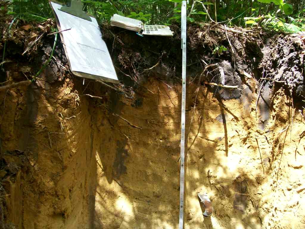
University of California & National Resources Conservation Service collaboration to share nationwide soil data that can be viewed by location
A flyer designed by AES with tips and tricks to make your lawn and garden more sustainable, with some handy websites as well


